Lower Cato Falls
Lower Cato Falls is a major County park centrally located within Manitowoc County, approximately 8 miles west of the City of Manitowoc on County Trunk Highway JJ.
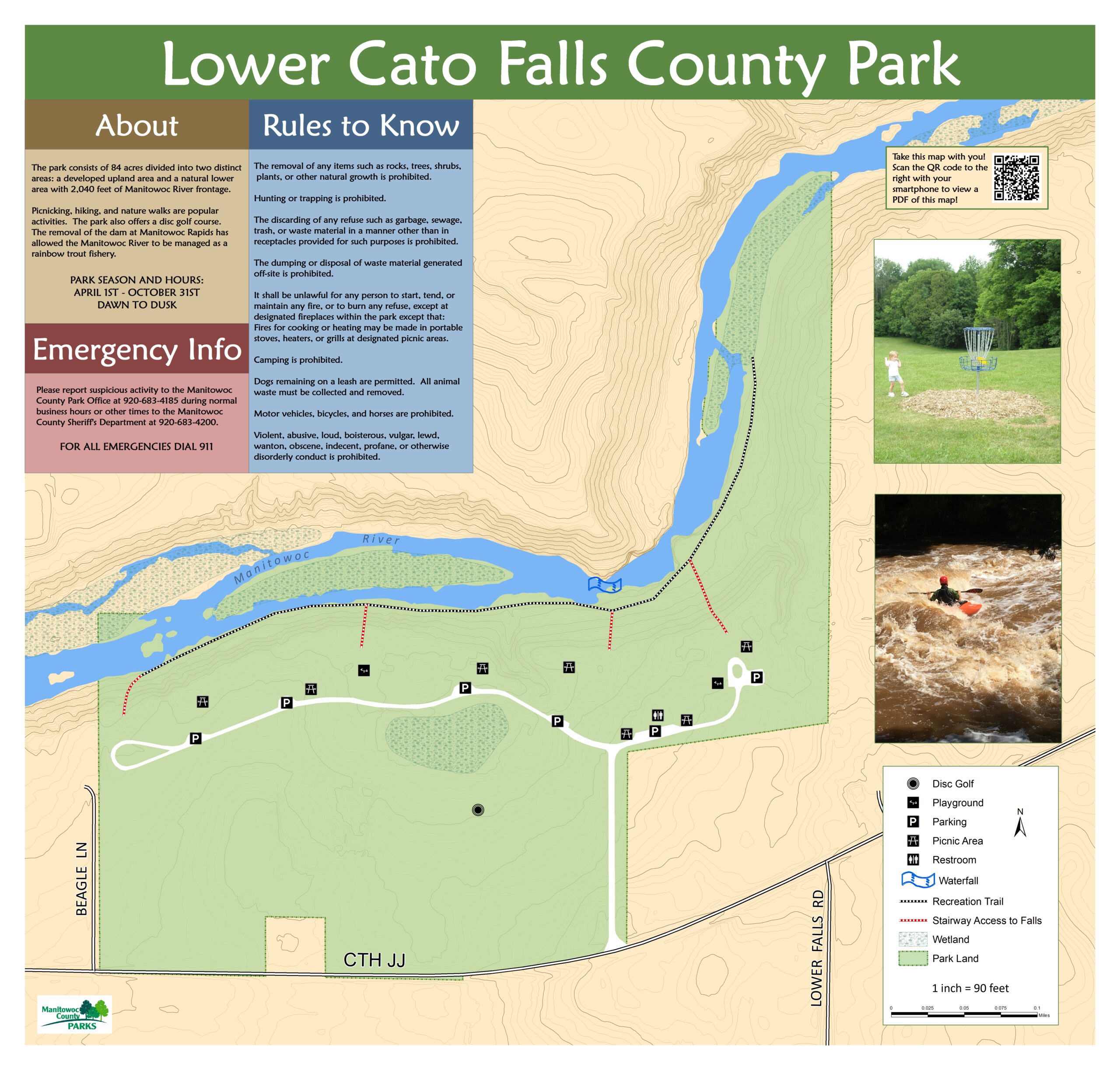
The total area of this scenic park is 84 acres. The park itself is divided into two distinct landscape areas: an upland area on which most of the development has occurred and a lower area along the river, which will generally remain in its natural state.
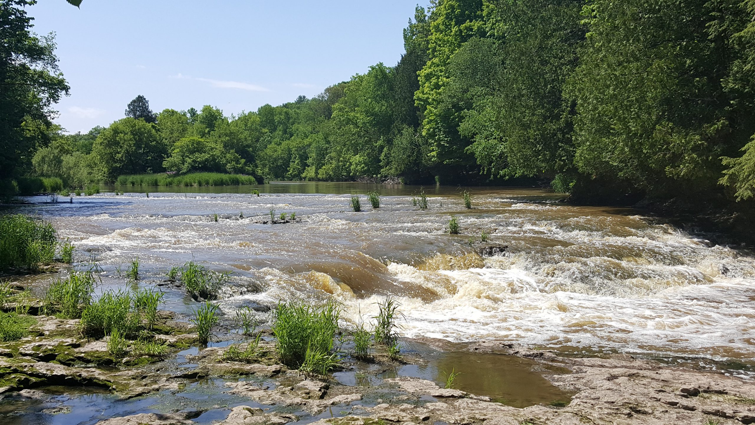
The park is very scenic with its wooded hills, rock outcroppings and a wide variety of trees and vegetative cover. The Manitowoc River, which forms the northern boundary of the park, flows through a narrow gorge that has unique rock formations and a waterfall area. Park visitors have an impressive panoramic view of the river from various scenic overlooks.
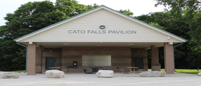
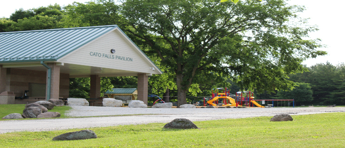
Picnicking, hiking and nature trail walks are among the most popular activities here at Lower Cato Falls. The park also offers a Disc Golf Course. Four wooden staircases leading from the top of the bluff to the river were constructed to provide greater ease in negotiating the steep slopes of the river bank. The recent removal of the dam at Manitowoc Rapids has allowed the Manitowoc River to be managed as a rainbow trout fishery. This park offers approximately 2,040 feet of river frontage.
